
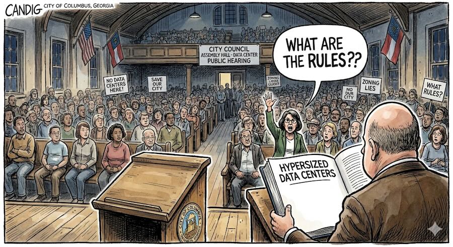

The Mother of All Zoning Overlays that no one bothered to explain. Columbus City Council passed it and most coverage moved on. But the document that will actually determine what gets built on those 987 acres — by a company that still hasn’t been named, drawing more electricity than the entire city of Columbus — hasn’t been written yet. Three protections that residents fought for throughout the process didn’t make it into what was adopted. The vote wasn’t the finish line. It was the starting line. Our four-part explainer series covers what happened, what the rules actually say, and what you can still do.
Author’s note: The author submitted an alternative ordinance — The People’s Overlay — to all Columbus City Council members, the city attorney, and the mayor before the June 9, 2026 public hearing, and spoke at that hearing. 706Report.com has covered Project Ruby since its February announcement. Prior coverage is linked throughout this series.
On February 12, 2026, Missy Kendrick — CEO of Choose Columbus, the city’s economic development organization — walked into a Development Authority meeting and announced that a technology company — name not disclosed — wanted to build a $5.18 billion data center campus on 987 acres of rural land in northeast Muscogee County.
The room responded with enthusiasm. The public responded with questions. And the city, once it looked closely, discovered it had a foundational problem: Columbus had no rules for what was being proposed.
Understanding why requires starting with the basics — what the project actually is, and what it would actually require.
What Is Project Ruby?
The core facts are easy to state but hard to absorb. Here they are in one place:
| Location | 987 acres, Layfield Road, northeast Muscogee County |
|---|---|
| Developer | Habitat Real Estate Partners / Atlas Development (Muscogee Property 1 LLC) — the development entities; the end-user tech company is a separate, undisclosed firm |
| End user | Undisclosed — confidential until a permit is filed |
| Projected investment | $5.18 billion |
| Buildings | 4 data center buildings |
| Phase 1 footprint | ~150 acres cleared and developed |
| Remaining undeveloped | ~837 acres |
| Power demand | 600 megawatts at full buildout |
| Water demand | 88,000–330,000 gallons/day (Choose Columbus estimate; comparable hyperscale sites report 2–4M gal/day at full operation) |
| Projected tax revenue | $68.7 million annually by 2030 |
| Projected permanent jobs | ~195, paying $80,000–$120,000/year |
| Construction timeline | 2027–2030 |
| Power delivery start | 200 MW from Flint Energies beginning 2029; full 600 MW by 2034 |
| Public subsidies | No direct public subsidies announced |
The number in that table that drives everything else — the one that shapes the project’s physical footprint, its infrastructure requirements, and its implications for Columbus’s electric grid — is 600 megawatts. To understand why, you need a point of comparison.
What Does 600 Megawatts Actually Mean?
Most people have an intuitive sense of what a megawatt is. Few have a sense of what 600 of them look like at a single point on the grid. The most useful comparison is the closest one:
| Peak Electrical Load | |
|---|---|
| Project Ruby at full buildout | 600 MW |
| Entire city of Columbus at peak | Less than 600 MW |
| Flint Energies current peak capacity (entire service territory) | ~450–500 MW |
Columbus is the third-largest city in Georgia. Project Ruby, at full buildout, would draw more electricity than every home, business, hospital, school, and government building in the host city — combined. It would also exceed the total peak capacity of Flint Energies, the rural electric cooperative that serves northeast Muscogee County and would be responsible for delivering that power.
That single fact explains almost everything about what the project requires — starting with why it needs 987 acres when the buildings themselves occupy only about 150.
Why 987 Acres for 150 Acres of Buildings?
A load larger than an entire city cannot simply be connected to an existing distribution network. The grid instability that a single 600-megawatt point load creates — voltage fluctuations, harmonic disturbances, cascading effects on neighboring customers — requires physical isolation. The developer’s own site map shows a GTC 230 Switch Station outside the property boundary to the north, connected by proposed transmission lines to a dedicated substation inside the parcel. That infrastructure needs space, clearance, and separation from neighboring loads.
| Area | Acreage | Primary Purpose |
|---|---|---|
| Phase 1 cleared and developed | ~150 | Buildings, substation, retention ponds, roads |
| Remaining undeveloped | ~837 | Utility isolation, stream corridors, infrastructure buffer |
| Total parcel | 987 |
The 837 undeveloped acres are not simply land banked for five future campuses — though the question of what happens to them under the adopted overlay framework is one this series addresses directly in Parts 2 through 4. In substantial measure, the parcel’s size is an engineering consequence of the load it is built to serve. You cannot serve a customer larger than your host city without building infrastructure that requires room to breathe.
Which brings Columbus to the problem it discovered in February: it had no legal framework for any of this.
Why Columbus Had to Write New Rules
Columbus’s Unified Development Ordinance — the legal document governing what can be built where in Muscogee County — had no category for a hyperscale data center. Not for a large one, not for a small one, not for any one. The obvious workaround was industrial rezoning, but that carried a risk that zoning attorneys flag in situations exactly like this one.
| Industrial Rezoning | Technology Overlay District | |
|---|---|---|
| What it does | Reclassifies a specific parcel for heavy industrial use | Adds data center standards on top of existing zoning |
| Applies to | This parcel only | Any qualifying parcel in designated zoning districts |
| Geographic reach | Single parcel only | Countywide, within eligible underlying zones |
| Legal risk | Risk present — rezoning a specific parcel for one applicant, without a general policy framework, is legally vulnerable to challenge | Low — general legislative framework available to any qualifying developer |
| Sets data center-specific standards | No — permits broad industrial uses | Yes — tailored rules for noise, water, buffers, generators |
| Applies to future applicants | No | Yes |
The legal concept at issue is called spot-zoning — when a government rezones a specific parcel to benefit a specific applicant, courts can find that the action favors one party rather than serving a legitimate public purpose. By creating a Technology Overlay District available to any qualifying developer across applicable zoning districts, Columbus built a framework that is policy rather than patronage. Mayor Henderson framed it simply: establish expectations early, so any developer knows what they’re agreeing to before negotiations begin.
That decision — to write new rules rather than repurpose old ones — set everything that followed in motion. It meant four months of public process, three competing versions of those rules, and a final vote that left some of the most consequential questions still unresolved. The project’s scale also triggers a separate state review process — the Development of Regional Impact — that gives neighboring Harris and Talbot counties formal standing in the approval process; that process is addressed in Part 4.
What the Rest of Georgia Had Already Figured Out
Columbus was not writing these rules in a vacuum. What had other Georgia communities already learned from confronting the same question?
| Community | What They Did | Key Detail |
|---|---|---|
| Atlanta | Banned data centers near the Beltline overlay | Location restriction to protect an existing development corridor |
| Fayetteville | Enacted a moratorium | Paused all approvals to study the question before acting |
| Clayton County | Approved two facilities, then paused | Studied consequences after approval, not before |
| Troup County | Wrote a 17-page amendment | 1,500-foot setbacks; Tier 4 generator requirements |
| LaGrange | Passed a 2-page ordinance | Critics called it inadequate |
| Newton County | Approved one Meta campus | Now has nine more data center applicants pending — some requesting up to six million gallons of water per day |
The Newton County example was cited most often in Columbus’s public debate, and it illustrated a specific dynamic worth understanding. Once a county approves the first campus — once the grid connections are built, the tax revenue starts flowing, and the infrastructure is in place — the argument for saying no to the next applicant gets harder to make. Each subsequent application arrives before a community whose leverage has diminished since it approved the first one. One campus had become the foundation for nine more.
Columbus was watching that and writing its rules at the same time.
What Columbus Knew in February — and What It Didn’t
Here is the information asymmetry that shaped the entire public debate. At the moment the project was announced, the people most affected by it had access to a fraction of what they needed to evaluate it.
| Known at Announcement | Not Yet Disclosed |
|---|---|
| General location (northeast Muscogee County) | Identity of the end user |
| Investment projection ($5.18 billion) | Exact parcel acreage (cited as 865 acres; legal figure is 987) |
| Project name: Ruby | Full water demand at buildout (Choose Columbus: up to 330K gal/day; comparable sites: 2–4M gal/day) |
| Number of buildings (4) | Cost of dedicated grid infrastructure — and who would pay |
| Power demand figure (600 MW) | Impact on Flint Energies cooperative members’ rates |
| Job projections (~195 permanent jobs) | What regulatory standards would apply |
| No public subsidies planned | Whether Columbus’s existing law could permit the project at all |
That last item is the one that mattered most in February. The answer, once anyone looked closely, was no. The zoning code Columbus had didn’t cover what Columbus was being asked to permit. Before the city could say yes or no to Project Ruby, it had to build a legal framework from scratch.
What that process looked like — who wrote the rules, who was in the room, and what three very different ordinances proposed — is the subject of Part 2.
Next: Three ordinances, a Chamber committee with undisclosed conflicts of interest, a citizen alternative, and a council that said it was there to listen — but didn’t ask a single question.
