
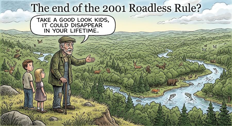

Blood Mountain is the highest point on the Appalachian Trail in Georgia. People drive up from Columbus to walk it. Below it, and around Tray Mountain and Rabun Bald and the Cohutta, sit 63,000 acres of national forest that have been closed to road building and logging for twenty five years.
The federal government is proposing to open them.
Public comment on the repeal of the 2001 Roadless Rule closes September 21. The rule covers about 45 million acres nationally. Georgia’s share is small. What Georgia has in that share is not.
What the government says
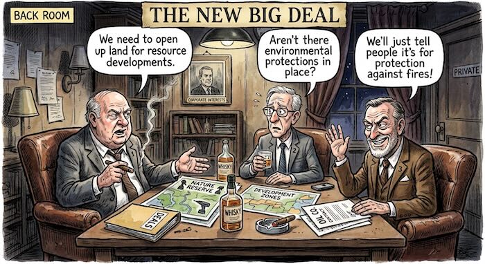
Agriculture Secretary Brooke Rollins has called the rule an “absurd obstacle” that is “overly restrictive.” The case for repeal, as USDA has made it publicly, is wildfire.
“For too long, outdated restrictions have kept tens of millions of forested acres off-limits to the very treatments that improve forest health and reduce wildfire risk to our communities,” Rollins said.
Forest Service Chief Tom Schultz put a number to it. “More than 40% of inventoried roadless areas, primarily in the West, have high or very high wildfire hazard potential.”
Read that sentence again. Primarily in the West.
Even there, the claim is contested. A 2021 study in Environmental Research Letters by Oregon State researchers examined fire extent and severity across western national forests from 1984 to 2018. Its finding on severity was blunt. “Management regime had no influence on fire severity in any of the statistical models we tested.” The study did find that a larger proportion of roadless land burned. But after accounting for temperature, precipitation, elevation, vegetation and other physical factors, it found no significant difference in fire severity between roadless and roaded areas.
That study covers the West. It does not describe Georgia. But it addresses the argument USDA is making, on the ground USDA chose.
USDA also makes a real argument that deserves stating. Roughly 9.8 million acres of roadless land, about 24 percent of it, sits in the wildland-urban interface where fire threatens houses. In fire-suppressed Western forests, fuel loading is a genuine problem. Nobody serious disputes that.
The question is whether it describes north Georgia.
What the proposal says
The formal notice published in the Federal Register on August 20 runs twenty pages. It contains a section called “Rationale for the Proposal.”
That section cites four executive orders. Executive Order 14192, Unleashing Prosperity Through Deregulation. Executive Order 14225, Immediate Expansion of American Timber Production. Executive Order 14154, Unleashing American Energy. Executive Order 14153, Unleashing Alaska’s Extraordinary Resource Potential.
Wildfire does not appear in it.
The notice is also candid about what repeal does and does not do. “This proposed rescission does not mandate timber cutting or road construction,” it says, “but would relieve regulatory burden.”
At the August 18 announcement, Deputy Agriculture Secretary Stephen Vaden described the purpose this way: “It is a credit to President Trump that we can begin to put into place a rule that will allow us to properly manage our national forests, because the first step to managing forests is to have access to them.”
Access. Not fire.
Read plainly, the argument is that removing a management rule is the first step to management.
What Georgia’s fire agency said
The Georgia Forestry Commission suppresses wildfires in this state. It works with local fire departments. It manages forests.
The Ledger-Enquirer asked the commission for its view of the proposal. Public relations director Wendy Burnett said it would “not be appropriate to comment on USFS actions as a state agency.” No basis was given for that position.
The numbers Georgia has
The Forest Service publishes an economic report on each national forest called Benefits to People. For the Chattahoochee-Oconee, the agency’s own figures are these.
About 2,390,000 visitors a year. Total visitor spending of about $103.1 million annually. The top activities are hiking and walking, viewing natural features, and fishing.
The same report lists what came off the forest in wood products in 2015. Sawtimber, 547,700 cubic feet. Commercial fuelwood, 2,271,300 cubic feet. Pulp, posts and poles and other products, 374,900 cubic feet.
The largest category is firewood. By volume it is four times the sawtimber.
Now set that against what USDA projects repeal will produce. By the agency’s own estimate in the Federal Register notice, rescinding the rule nationally might raise national forest sawtimber harvest by 5 to 10 percent, worth $4.6 to $10.6 million a year to the timber industry and $5.2 to $11.4 million a year to the Treasury and the Forest Service.
The notice puts dollar figures on the benefits. It puts none on erosion, sedimentation, flood risk or lost wildlife habitat. Those costs are not speculative. They are the ordinary, documented consequences of building roads in forested headwaters. USDA’s draft environmental impact statement may address them. The notice announcing the proposal does not.
Those two figures do not measure the same thing. The $103.1 million is visitor spending across the whole 752,000-acre Chattahoochee-Oconee, not the 63,000 roadless acres. The timber estimate is national, covering all 45 million acres. It is a comparison of scale, not a like-for-like accounting.
As a comparison of scale it is still striking. Visitor spending on one state’s national forests runs about ten times the entire annual national timber benefit the government projects from opening 45 million acres.
The notice goes further against its own case. It describes “the small number of operable areas for timber harvest in roadless areas.” It puts the operable acreage at 4.8 million, about 16 percent of forested roadless land. And it says any gains would be “incremental and limited by road costs, maintenance funding gaps, and the $6.9 billion deferred maintenance backlog for roads and bridges.”
The Forest Service cannot afford to maintain the roads it has. The notice acknowledges that backlog. It does not say how roads built into roadless country would be maintained, or by whom.
Why Georgia gains almost nothing
Georgia is the largest timber producing state in the country by volume. It does that on private land. About 92 percent of Georgia’s forests are privately owned, and the state has roughly 22 million acres of commercially available private timberland.
Against that, 63,000 acres of steep mountain hardwood in the north Georgia highlands. There is no evidence presented by USDA that Georgia’s 63,000 roadless acres represent a significant new timber supply for Georgia mills.
What Georgia has in those acres is the southern end of the Appalachian Trail, the Benton MacKaye Trail, trout water, and headwater streams.
Winners and losers
| Landowners adjacent to roadless boundaries in Fannin, Union, Towns, Rabun, Gilmer and Murray counties | Gain access value. When a public road reaches a boundary, the neighboring private parcel becomes more useful and more valuable. The public builds and maintains the road. Likely, based on how access has worked elsewhere. |
| North Georgia resort and second-home development | Gains new frontage and buildable adjacency in a market already running hot. No evidence either way at this point. |
| Motorized recreation users | Gain legal access to terrain now closed to vehicles. A real constituency with a real gain. |
| Regional timber operators | Gain access to some stands now off limits. Small, on USDA’s own numbers. |
| Chattahoochee-Oconee forest supervisors | Gain discretion. Decisions return to forest-level planning instead of a national rule. This is USDA’s stated benefit. |
| The north Georgia tourism economy | Stands to lose the backcountry product itself. $103.1 million a year in visitor spending. USDA’s notice concedes “lost economic benefits” for outfitters, guides and tour operators. |
| Trout anglers | Stand to lose cold, clean headwater streams. Forest road erosion is the dominant source of sediment on managed forest land. |
| Backcountry hunters | Stand to lose the thing roadless country provides. |
| Appalachian Trail and Benton MacKaye users | Stand to lose the buffer around the corridor. |
| Downstream water users | About 493,000 people are served by protected source water areas that substantially overlap this forest, by the Forest Service’s own count. |
| Taxpayers | Stand to incur a permanent maintenance obligation on any new road, against an existing $6.9 billion maintenance backlog. |
On water, one number needs care. Georgia Senate Resolution 1029, adopted March 27, says the roadless areas supply drinking water to 3.3 million Georgians. That is the resolution’s figure. The Forest Service’s own assessment counts about 493,000 people served by protected source areas overlapping the forest by at least a quarter. The two use different measures. This story uses the agency’s.
Seven Republican state senators sponsored that resolution, which recognizes the rule’s twenty fifth anniversary and commends the Forest Service for its management of Georgia’s roadless areas. One of them is Randy Robertson, whose Senate District 29 takes in part of Muscogee County.
What Columbus already knows about general rules
Columbus does not have to imagine what happens when a general rule changes what can be done on the land next door. It watched it this summer, twenty minutes from downtown.
On June 23, eight Upatoi landowners and Keep It Rural LLC sued the city in Muscogee County Superior Court. Stacie Mailey, Debbie Jackson, Charles McClure, Jeremy Gibson, Jordan Kempson, Robert Landi, Wayne Gasser and Debra Jarzomkowski. All of them live on or near the 987-acre Layfield Road site proposed for Project Ruby, a $5.18 billion hyperscale data center. They filed four days after the mayor signed the technology overlay into law.
Their case does not argue that data centers are bad. It argues about how the rules got written.
The city’s defense rests on four words. The overlay, it says, is “not a specific project.” It is general legislation. A framework. A template.
The sequence ran the other way. Choose Columbus announced the project on February 12, with a developer, a dollar figure, a job count and a timeline. The zoning framework came after. The panel that drafted it included Georgia Power, a data center construction company and Columbus Water Works. The three provisions residents most wanted, a 500-foot buffer, a PFAS ban and a diesel ban, did not exist when the public testified. They were added between readings.
The people who would live with the rules for fifty years were not in the room where the rules were written.
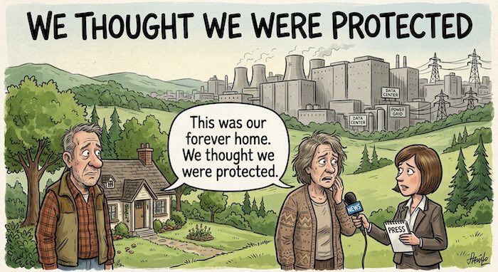
That is the shape worth carrying into this debate. A rule change presented as general rather than aimed at anything in particular. A protective justification attached to it. Consequences that arrive later, to people who made decisions assuming the old rules would hold.
The Roadless Rule has held for twenty five years, through four administrations and sustained litigation. That durability is not a footnote. It is what people relied on when they bought a cabin in Fannin County, or started a guiding business out of Blairsville, or planned a life around a trailhead.
Reliance is what the rule produced. Reliance is also the thing that turns out not to be protected.
What to watch for, if this goes through
The rule is not final. A record of decision is expected late this year, and litigation is close to certain. But if the repeal is finalized, these are the specific things to look for, and they can be checked.
Within roughly two years, expect forest plan amendments proposing roads in named inventoried areas. Expect timber sales offered inside the 4.8 million acres USDA calls operable, and expect a fight over whether those sales cover their own costs. Expect special use applications for utility corridors. Expect other states to file their own roadless petitions on the model Idaho and Colorado used. And expect land transactions near roadless boundaries in the six north Georgia counties that touch this forest.
One thing worth noting now. The Federal Register notice never uses the words transmission, powerline, utility, corridor or right-of-way. Not once in twenty pages. It cites an executive order on energy as a reason for the rule change, and it analyzes minerals, timber, recreation and fishing. Electricity does not appear. Whether that is an oversight or a choice is a fair question to put to USDA, and a fair thing to raise in a public comment.
Nineteen days
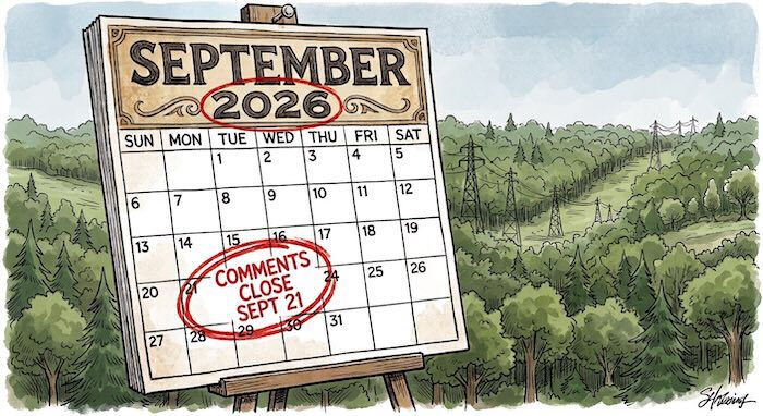
Comment closes September 21. Anyone can file one. It does not require standing, residency, or a lawyer.
Georgia Forest Watch is holding a postcard writing event at NoFo Cleveland Brewery in Cleveland, Georgia on September 12.
USDA reported receiving more than 220,000 comments during an earlier 21-day comment period. The Center for Western Priorities, reviewing comments from the first announced period, found that 99 percent opposed the proposal. Those two counts come from different sources and cover different periods.
The places at stake in Georgia have names. Blood Mountain. Tray Mountain. Rabun Bald. Cohutta. Kelly Ridge and Big Stamp. The Benton MacKaye Trail, near the beginning of the Appalachian Trail.
They have been off limits to road building since 2001. Whether they stay that way is, for nineteen more days, still an open question. You have a voice, the question is, will you choose to speak out, or watch from the sidelines?
